
Laser Ranging for UAV & Intelligent Measurement
Compact and reliable dToF sensing for UAV altitude control, obstacle detection, aerial inspection and long-range measurement
How Laser Ranging Works
Laser distance measurement is based on the principle of constant speed of light, which means that the propagation speed of light in vacuum is a constant value. Therefore, by measuring the time difference between the laser emitted and the laser reflected back from the object, the object distance can be calculated. In practical applications, high-precision time-measuring equipment is usually required to measure the time difference of the laser round trip to ensure the accuracy of measurement results.
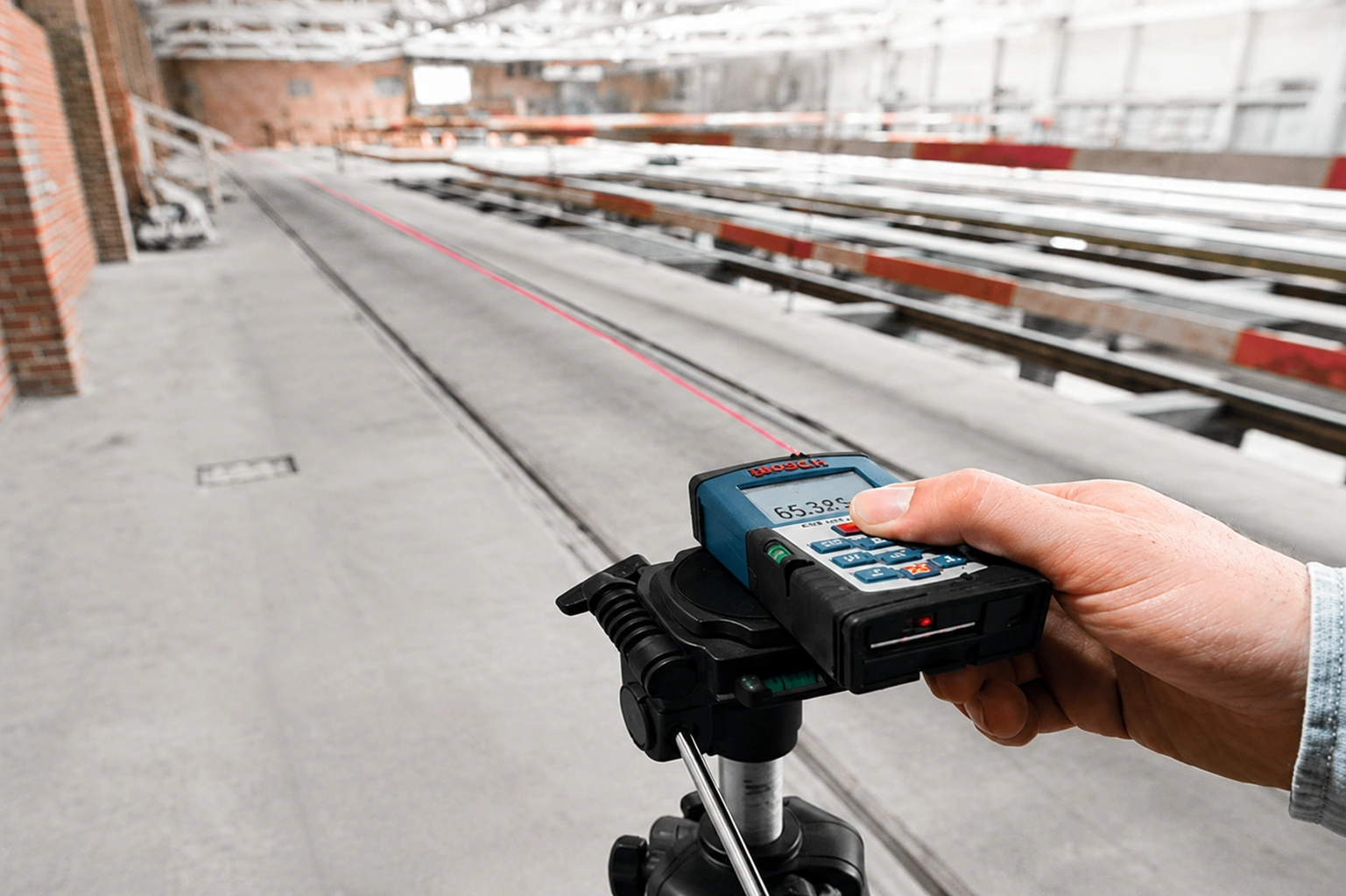
Our Laser Ranging & UAV Solutions
X-Dynamics provides compact dToF ranging solutions for long-range measurement, engineering surveying and UAV applications, supporting reliable distance sensing in demanding indoor and outdoor environments.
Laser Ranging & UAV Applications
Accurate distance sensing for flight assistance, outdoor inspection, engineering measurement and mobile platforms.
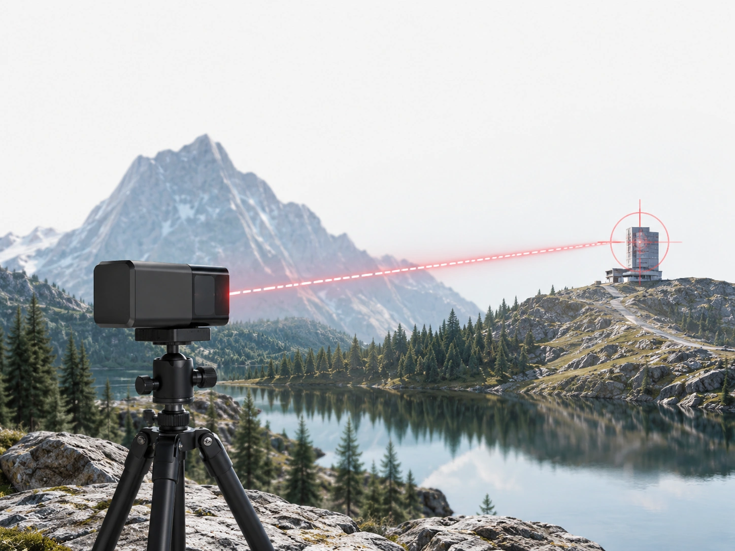
Long-Range Distance Measurement
Provides reliable distance data for long-range detection, infrastructure measurement and outdoor observation applications.
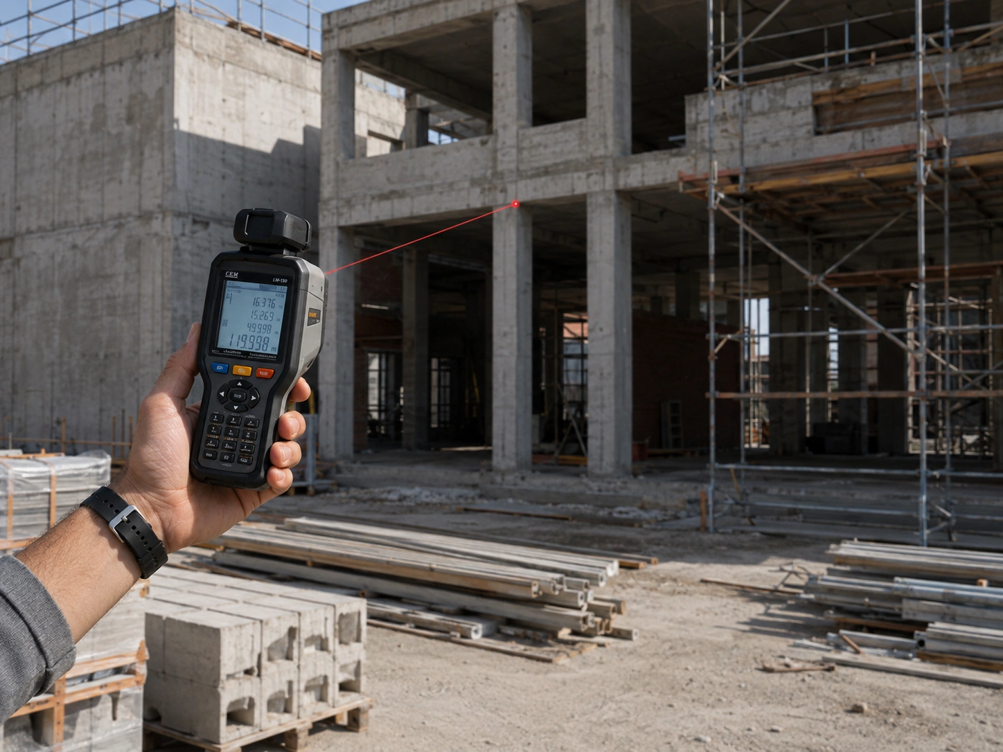
Engineering Surveying & Mapping
Measures distance, height and spatial dimensions for construction, engineering surveying and mapping applications.

Portable & Outdoor Ranging
Supports compact handheld rangefinders for outdoor exploration, sports measurement and field distance sensing.
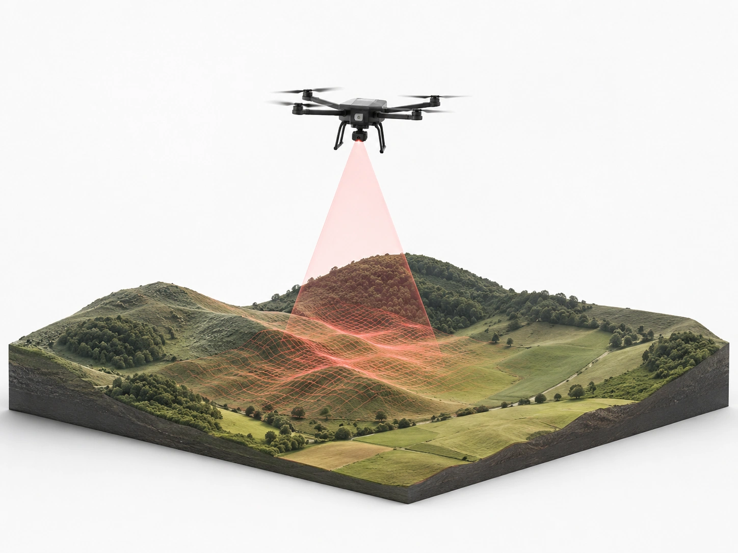
UAV Altitude & Terrain Following
Measures real-time ground distance to support altitude hold, terrain following and stable flight over changing surfaces.
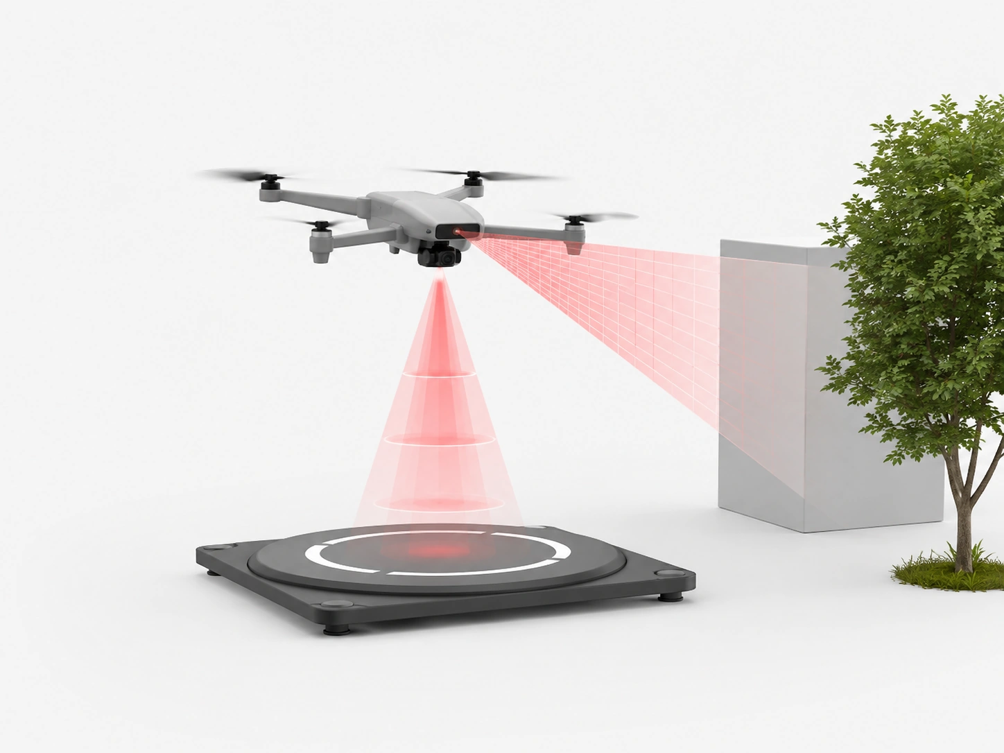
UAV Obstacle Avoidance & Landing
Provides forward and downward ranging data for obstacle awareness, low-altitude flight and safer automated landing.
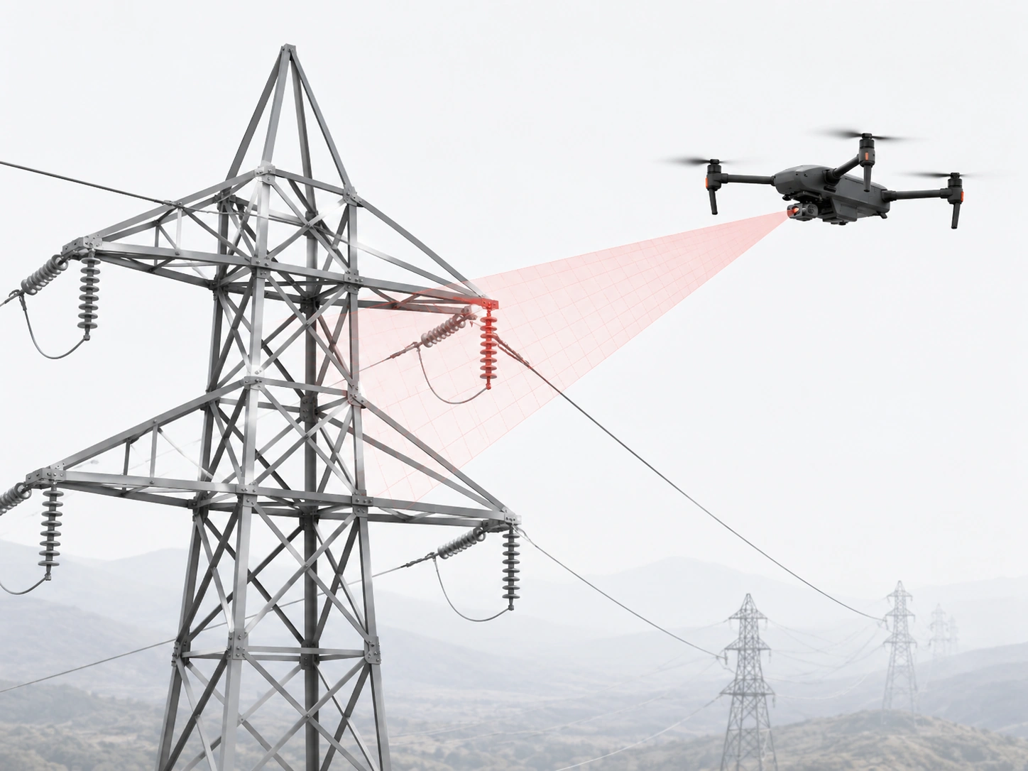
Aerial Inspection & Power-Line Patrol
Supports power-line patrol, infrastructure inspection and long-distance target detection from lightweight UAV platforms.
Laser Ranging Sensor
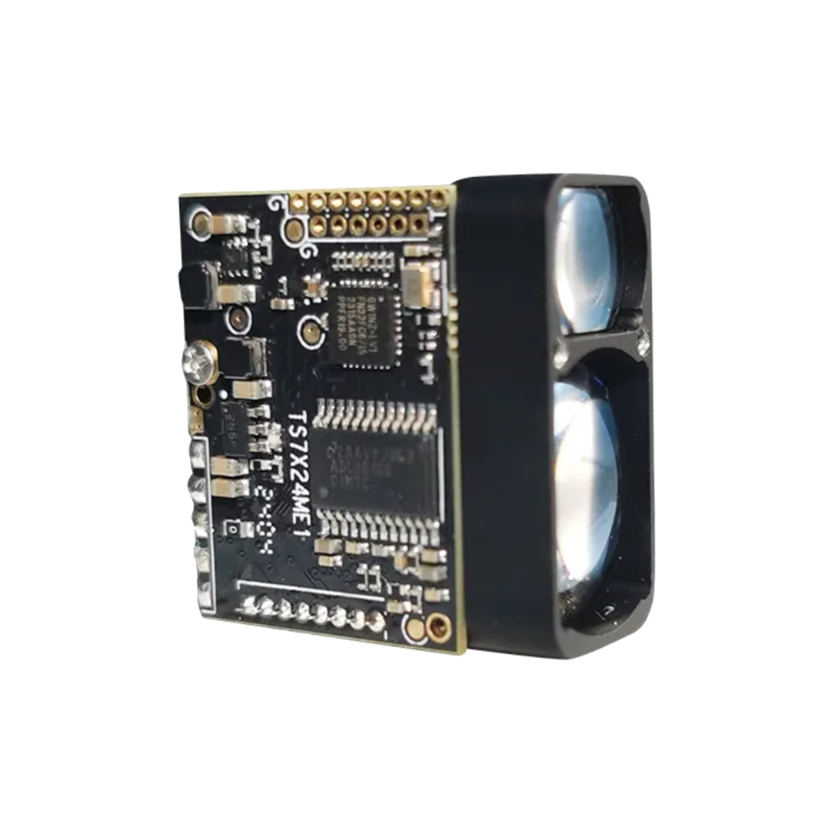
The integrated development and application of laser ranging and UAV technology
The integration of laser ranging and machine vision
Laser ranging and machine vision work together to improve measurement and identification accuracy. Precise distance data combined with visual information enables faster target detection, more accurate positioning, and reliable and stable measurement performance across complex operating environments.
The integration of UAV and laser ranging technology
Laser ranging can be integrated into UAV platforms to provide real-time altitude and distance data during flight. Its compact size, low power consumption, and stable performance support terrain following, obstacle awareness, precise landing, and safer low-altitude operation in demanding aerial environments.
Intelligent application
Laser ranging provides reliable distance data for intelligent industrial systems. It supports measurement, positioning, target monitoring, and automated control in production and engineering environments, helping improve operational efficiency, reduce manual errors, and deliver more consistent measurement results.
UAV application
In UAV applications, laser ranging supports altitude hold, obstacle avoidance, landing assistance, and aerial inspection. It is also suitable for power-line patrol, terrain mapping, and long-distance target detection, helping improve flight safety, operational efficiency, and data reliability across diverse outdoor missions.
Explore Our All Products Portfolio

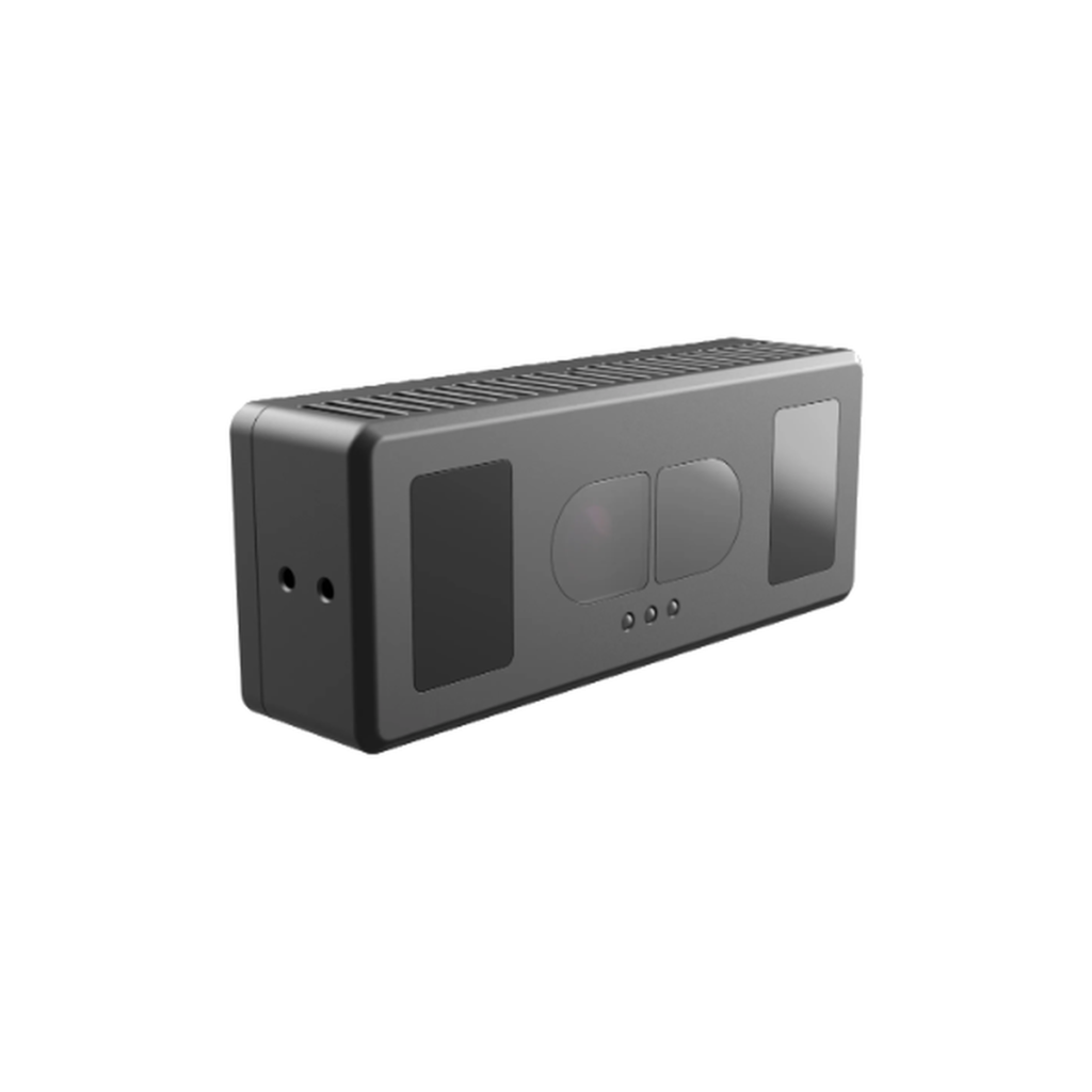
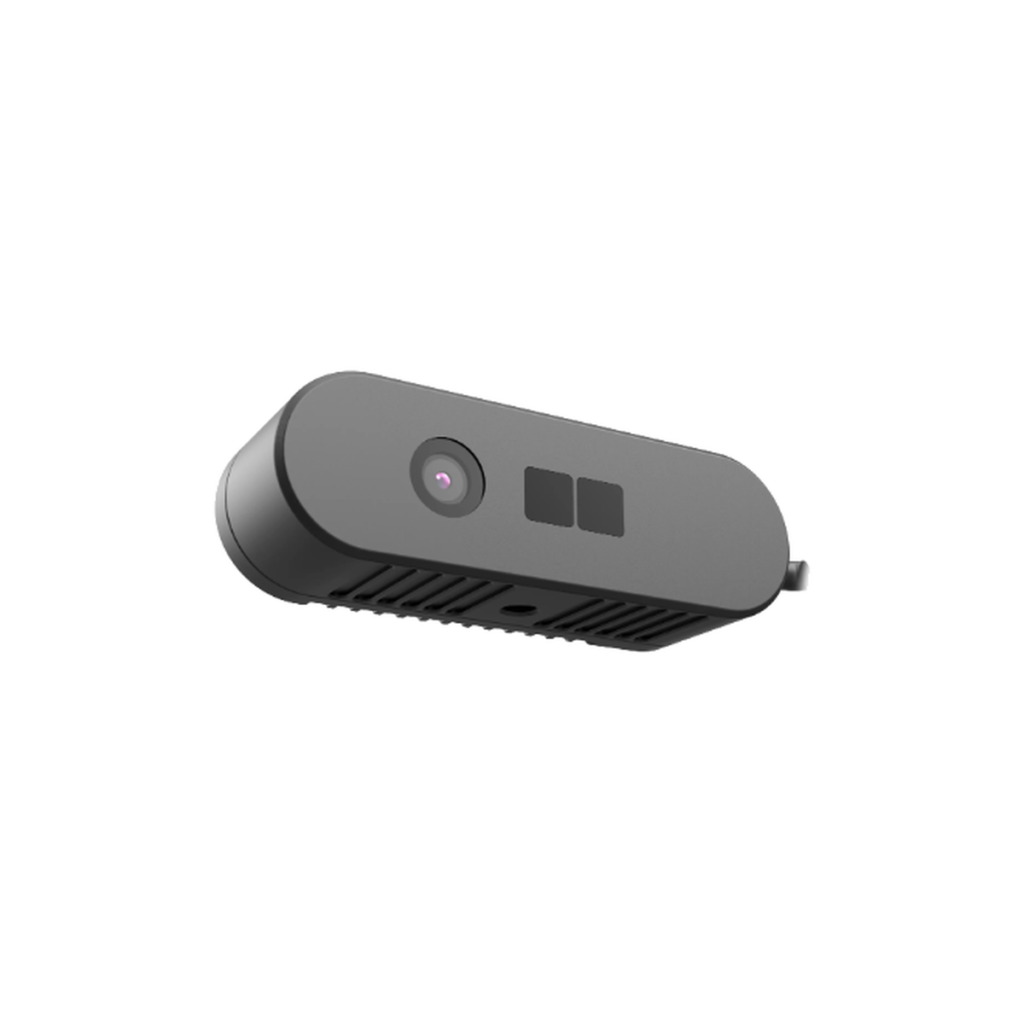
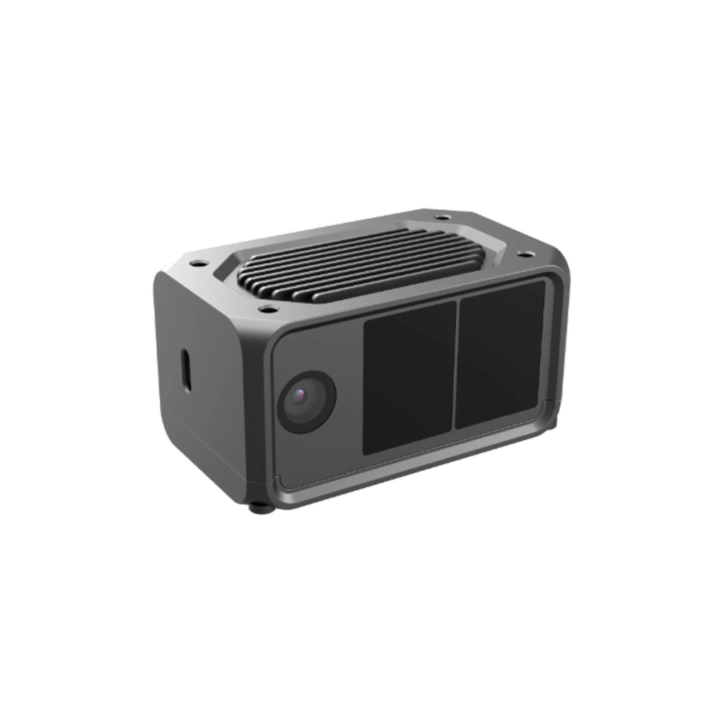
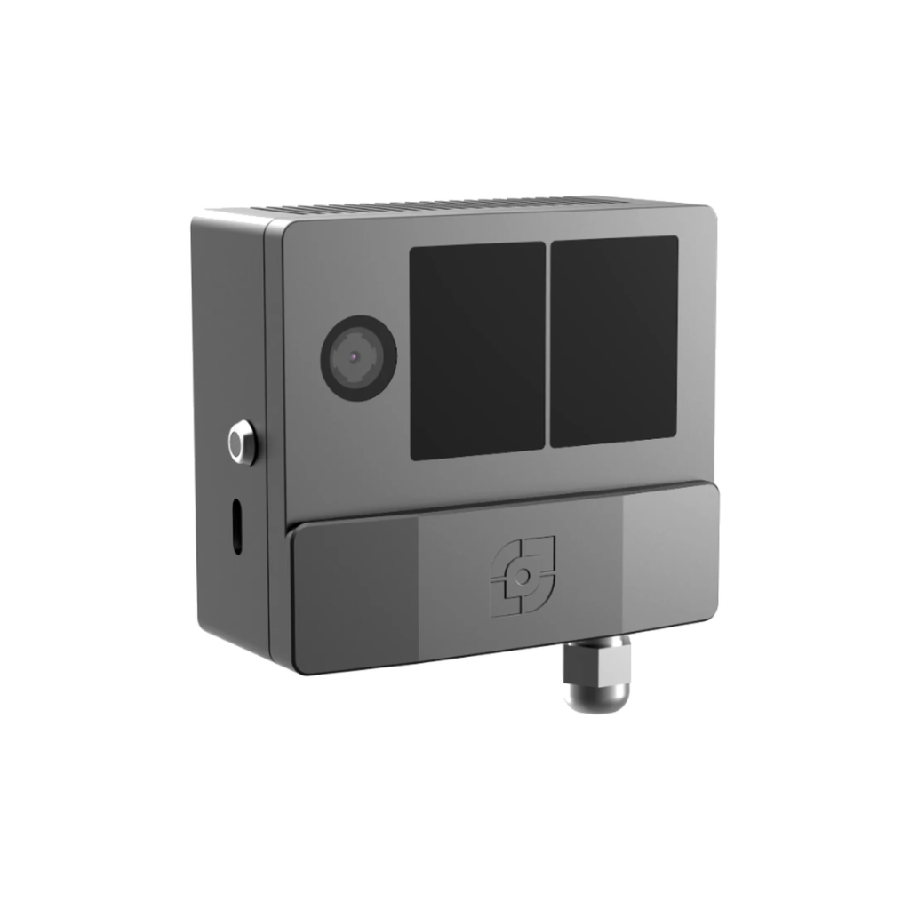
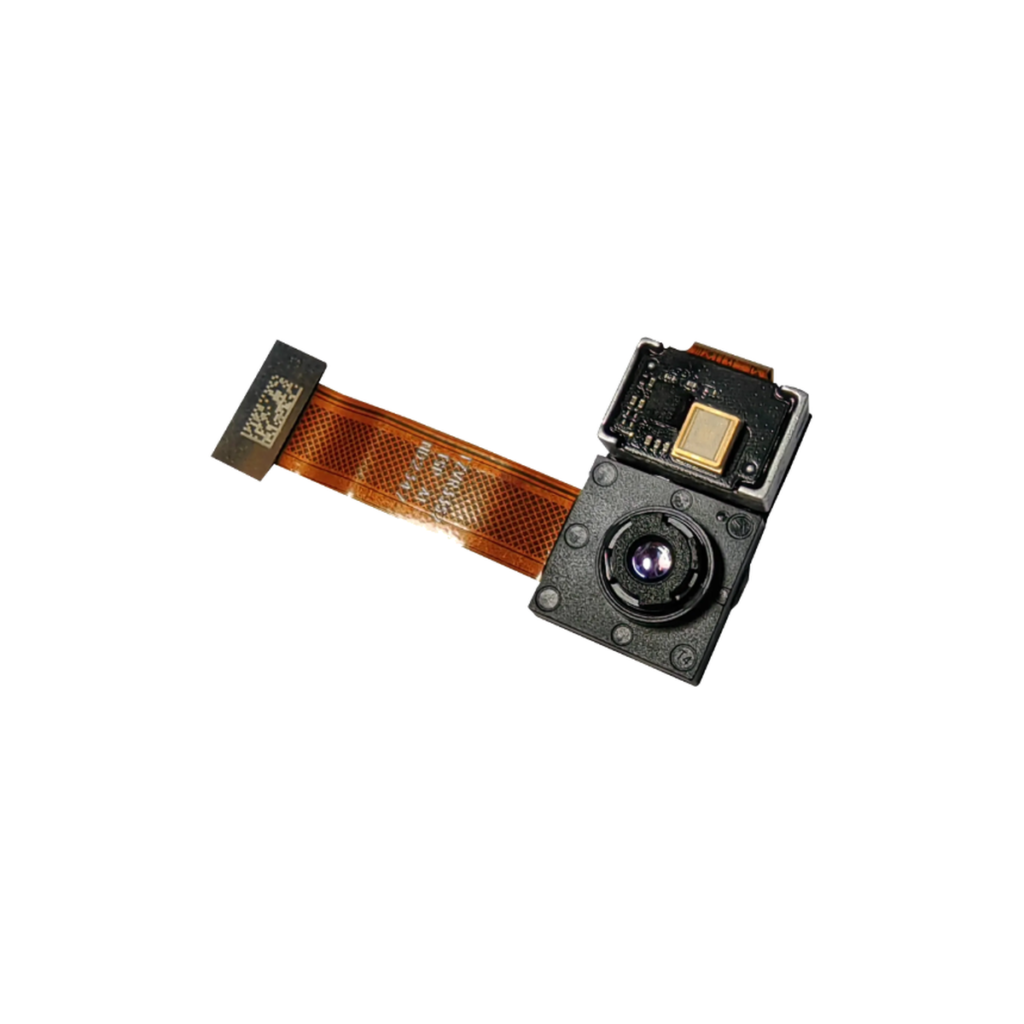
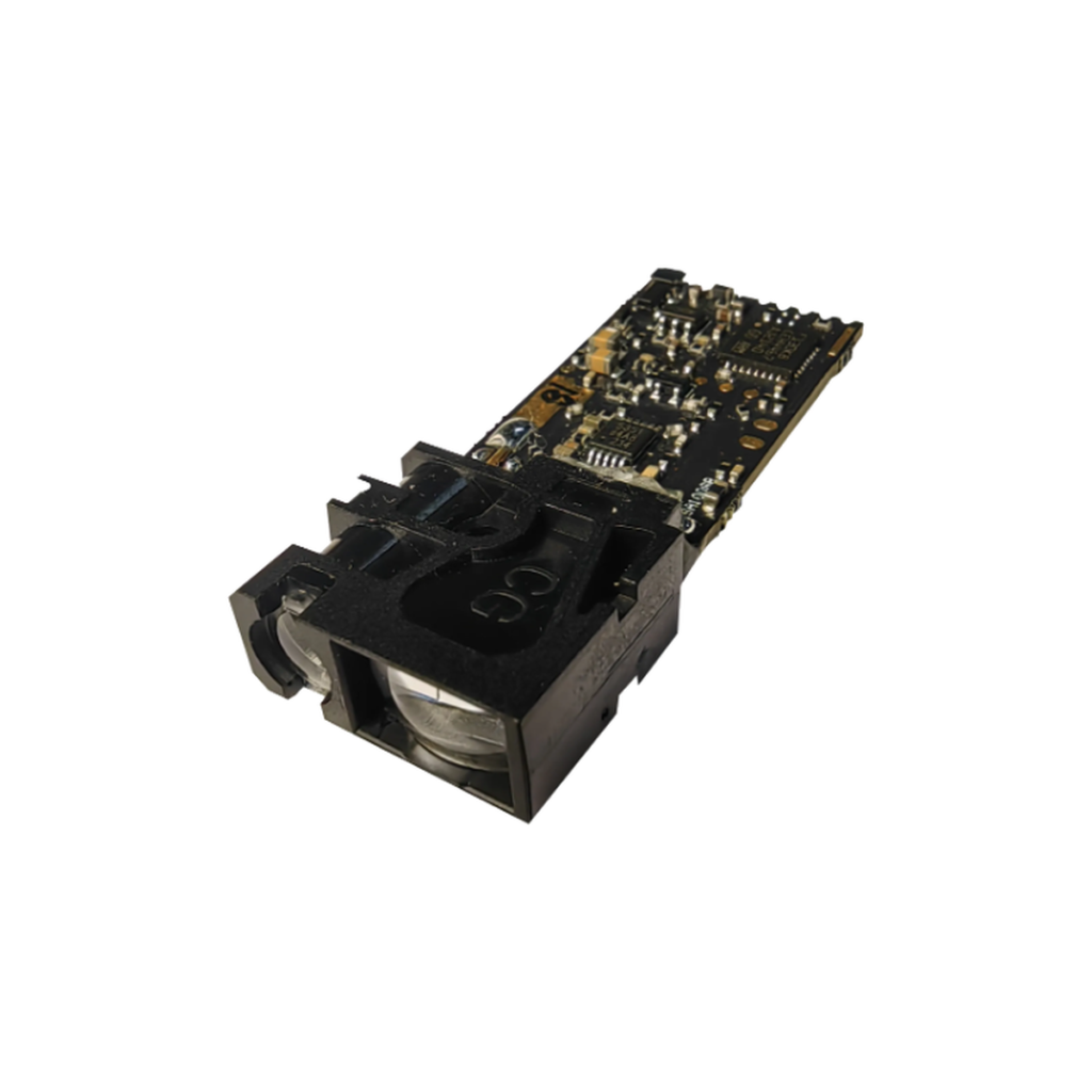
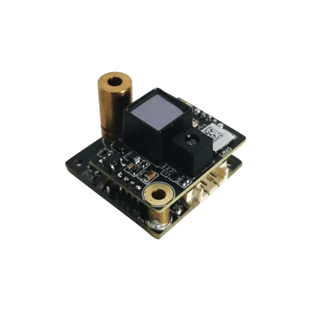
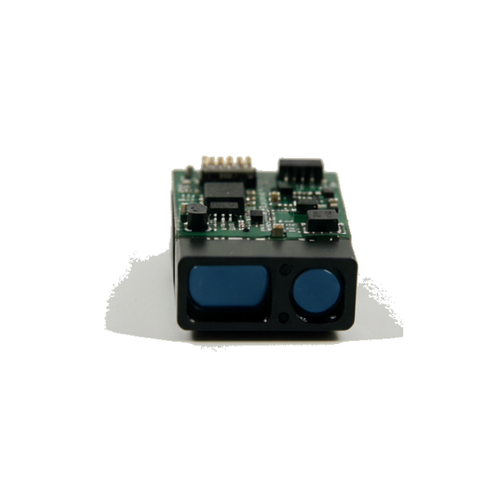
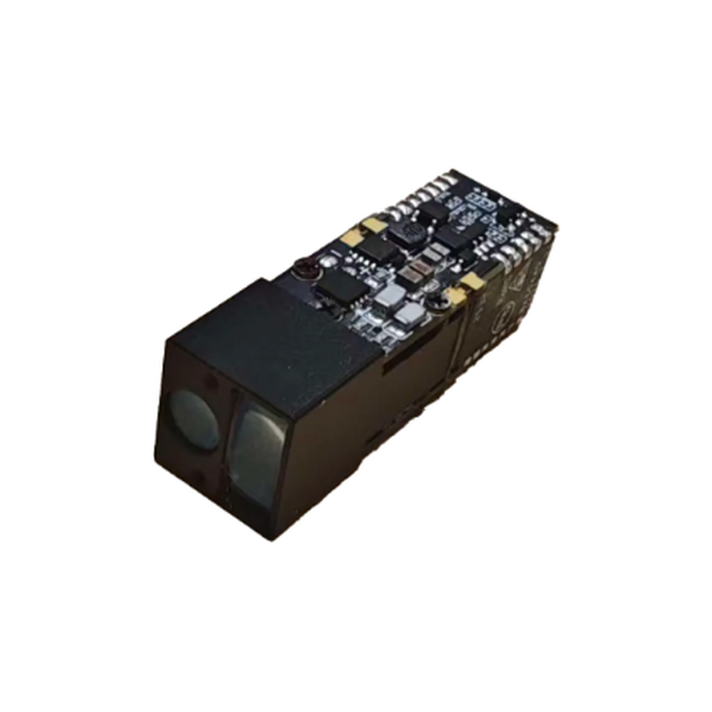
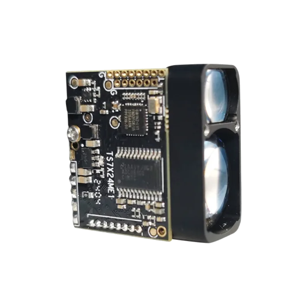
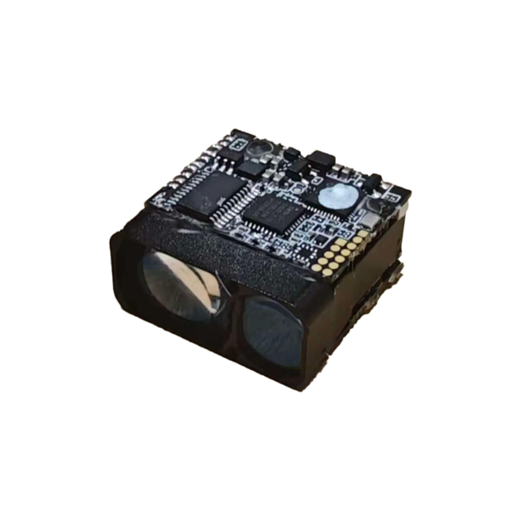
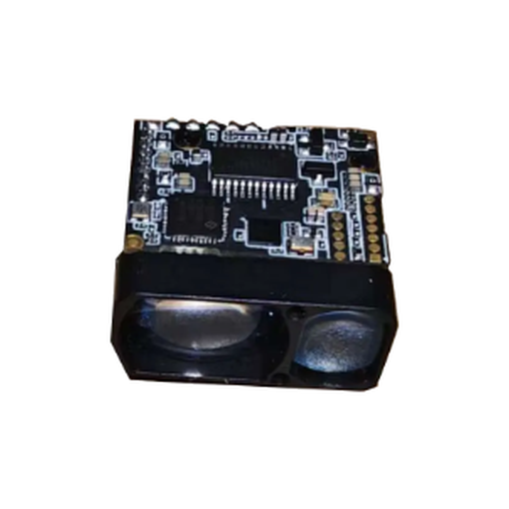
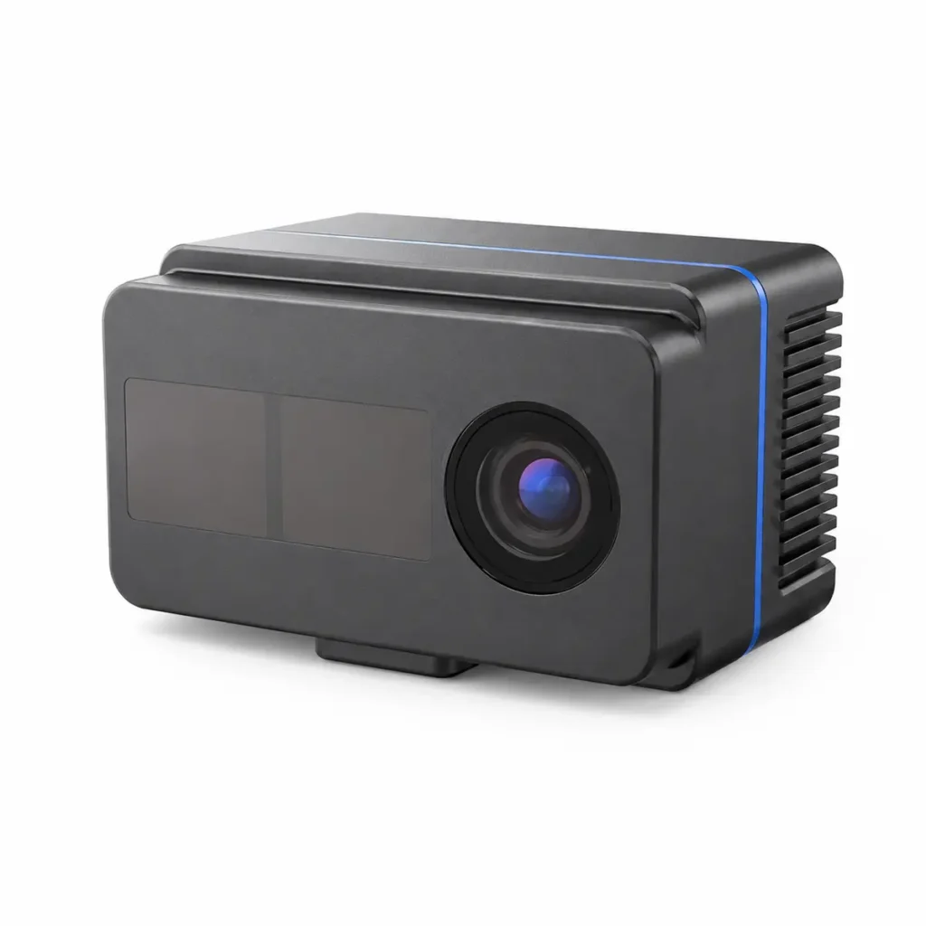
X-D535L and X-D535H 3D ToF people counting camera for occupancy and traffic analytics. X-D400 compact 3D iToF depth camera for depth sensing and 3D vision integration. X-D500 industrial 3D iToF depth camera for machine vision and automation integration. X-D1000 industrial 3D iToF depth camera for depth sensing and 3D vision applications. X-D450 embedded 3D iToF camera module for compact vision system integration. XD-S20 compact dToF laser rangefinder module for distance-sensing integration. XD-S40 dToF laser rangefinder module for compact distance-sensing systems. XD-S200S compact dToF laser rangefinder module for distance measurement integration. XD-S700 dToF laser rangefinder module for optical distance-sensing integration. XD-S1000 dToF laser rangefinder module for distance-sensing applications. XD-S1500 compact dToF laser rangefinder module for optical distance measurement. XD-S2000 compact dToF laser rangefinder module for distance-sensing integration. X-D1100 wide-field 3D iToF camera for accurate depth sensing and RGB-D imaging.
Get in Touch with Our 3D Sensing Experts
Tell us about your application requirements. Our engineering team will help you find the right sensing solution.
Ready to Start Your Own Project?
Contact us today to start your journey towards growth and innovation.
Tell us your application, technical requirements, or project needs. Our team will recommend suitable products and integration options.
6F, Building C2, Wuhan Future Science and Technology City, No.999 Gaoxin Blvd, Wuhan, Hubei 430205, China.